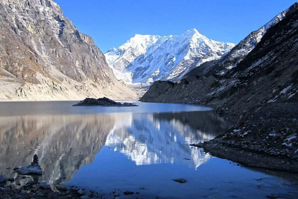
Tsho Rolpa, located in the Rolwaling Valley of Dolakha district, is considered one of the most well-known and potentially dangerous glacial lakes in Nepal. The lake is situated at an altitude of 4,546 meters above sea level and lies at 27°52’ north latitude and 86°28’ east longitude. Tsho Rolpa forms the headwaters of the Rolwaling Khola system, which eventually joins the Tama Koshi River.
In 1991, a Glacial Lake Outburst Flood (GLOF) originating from “Chubung,” a small supra-glacial lake located on the surface of the Ripimoshar Glacier, caused significant damage downstream up to Bedding village in the Rolwaling Valley. Following this incident, local communities became increasingly concerned about the potential danger of a possible outburst from Tsho Rolpa. Scientific and technical studies on the lake began soon afterward.
In 1992, R. J. de Meijer and E. M. Smit conducted a preliminary assessment regarding the possible hazards associated with Tsho Rolpa. Later, Damen carried out scientific investigations and recommended measures to lower the lake water level and establish regular monitoring systems. With the assistance of the Japan International Cooperation Agency (JICA), Nepal’s Water and Energy Commission Secretariat (WECS) conducted extensive studies between 1993 and 1997. Subsequently, researchers and students from different countries also carried out studies on various aspects of the glacial lake.
Development and Expansion of the Lake
During the late 1950s, Tsho Rolpa existed only as a group of six small supra-glacial ponds. Between 1957 and 1959, the lake covered an area of approximately 0.23 square kilometers. However, from the 1960s onward, the lake began expanding continuously.
By 1990, satellite imagery showed that the lake area had increased to 1.27 square kilometers, and by 1999 it had expanded further to 1.55 square kilometers. As the lake became increasingly hazardous, mitigation and risk reduction works were completed in 2000. These included the construction of a gated outlet channel, which lowered the lake water level by three meters.
Following these mitigation measures, the lake area decreased slightly to 1.53 square kilometers. Satellite observations recorded the lake area as 1.535 square kilometers in 2005 and 1.538 square kilometers in 2007. According to recent studies, Tsho Rolpa currently has a length of approximately 3.45 kilometers and an area of 1.537 square kilometers.
Depth and Geomorphological Changes
Bathymetric investigations of Tsho Rolpa began in 1993. Various studies have indicated that the lake has been progressively deepening over time. Research findings show that some parts of the lake are deepening at an annual rate ranging from 0.234 meters to 0.255 meters.
Different islands and benchmark points within the lake have also been gradually subsiding. Studies indicate that the lake surface and depth are changing at an average annual rate of approximately 0.43 meters. These findings suggest that the geomorphological condition of the glacial lake remains highly dynamic.
Climate and Meteorological Conditions
Meteorological data available from 1993 to 2004 indicate that the average daily temperature in the Tsho Rolpa region was estimated at 0.3°C. Between 1998 and 2004, the mean annual air temperature increased by approximately 0.074°C.
More than 60 percent of the annual precipitation in the area occurs during the monsoon season, from mid-June to mid-September. The maximum annual precipitation recorded was 829 mm in 2004, while the minimum was 355 mm in 1993.
The artificial outlet channel constructed at Tsho Rolpa has a discharge capacity of 35 cumecs, which is nearly twice the maximum monsoon discharge of 18 cumecs measured during the monitoring period. This provides an additional level of safety for regulating sudden water outflow.
Glacier Conditions
The Trakarding Glacier, directly connected to Tsho Rolpa, has been retreating rapidly. In 1960, the glacier was approximately 22.17 kilometers long, but by 2009 it had reduced to 18.62 kilometers.
Based on these observations, the glacier has been retreating at an average annual rate of about 72.3 meters. Studies also show that since 1993, the lake itself has been expanding at a rate of approximately 17 to 20 meters per year.
Previously, a steep vertical ice wall rising 30–40 meters above the lake surface existed near the glacier terminus. However, this ice wall has gradually melted and transformed into a gentle slope toward the lake. Although the hanging glaciers surrounding Tsho Rolpa have not yet been identified as a major threat, the possibility of snow or ice avalanches cannot be completely ruled out, making continuous monitoring essential.
Risk and Monitoring
As Tsho Rolpa is considered one of the most dangerous glacial lakes in Nepal, it is regularly monitored by the Department of Hydrology and Meteorology (DHM). Studies have indicated the possibility of seepage and piping within the end moraine, which could potentially increase instability in the future.
Although the artificial outlet system is currently functioning effectively, studies have recommended regular technical inspections due to observed subsidence in the gabion walls and vibrations in the anchor blocks.
Experts have emphasized that long-term climate monitoring, glacier observation, and the assessment of extreme climatic events are essential for the sustainable monitoring and management of the Tsho Rolpa glacial lake.
Source: Based on a report by the International Centre for Integrated Mountain Development (ICIMOD).
Tsho Rolpa glacial lake: The Biggest Glacial Lake in Nepal
Monday, June 8, 2026
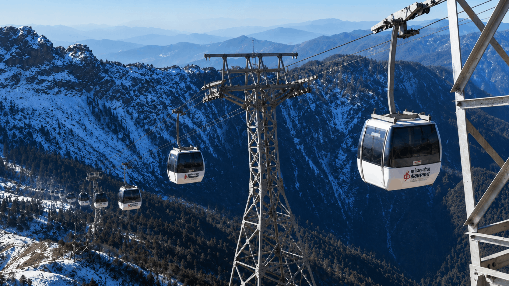
Kalinchowk Tour, Best Place in Dolakha for Snow, Cable Car, and Rural Tourism in Nepal
Thursday, June 4, 2026

How to Identify Organic Vegetables?
Wednesday, May 27, 2026
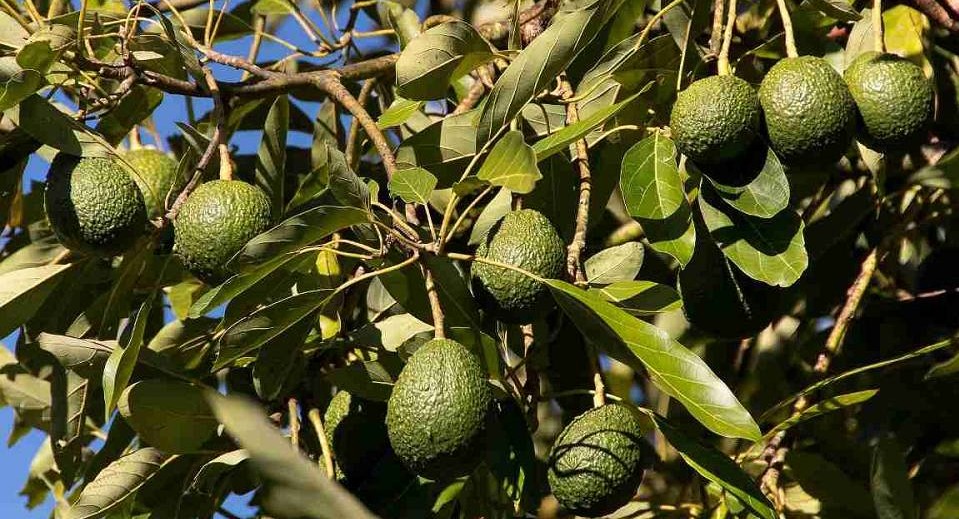
Avocado in Nepal: A Superfruit with Farming and Earning Potential
Friday, November 14, 2025
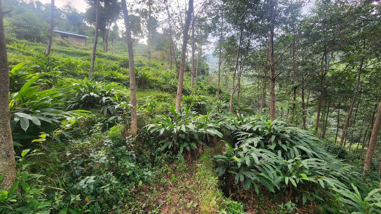
Common Mistakes in Cardamom Farming and Their Practical Solutions
Wednesday, November 12, 2025
यस्तो छ आजका लागि सागसब्जी र फलफूलको थोक मूल्य
Wednesday, November 5, 2025